Aerial Data Capture
From Surveying our Utility Grid to coordinating Air & Ground crew for roof repairs, or even just getting the right shot, the first time.
Waypoint UAS, Professional Drone Services.
ABOUT US
Waypoint UAS
Waypoint UAS is owned and operated by Evan Hughes, a Houston native and a FAA Part 107 Certified UAS Pilot. Evan has flown various drones since 2019, and has a background in Information Technology and Automation, as well as several years in SBA Lending.
Distribution & Marketing
We provide consulting, as well as digital distribution through our Social Media and Streaming Partners
Industrial Surveying & Inspections
Utility Surveying, Digital Twins, Aerial Mapping, Volumetric, and more
Creative & Production
Social Media Spots, Commercials, Aerial Media Solutions, Experienced Photographers
Services
Offering a comprehensive range of Drone Solutions designed to elevate your business; efficiency, safety, and clarity to make the best choices.
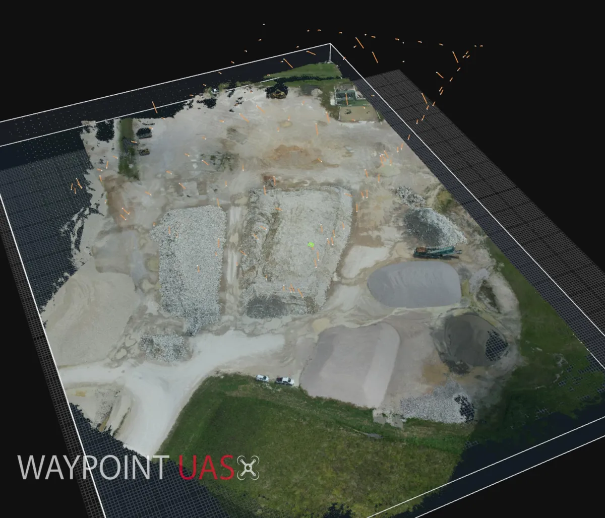
Aerial Mapping
We utilize professional tools and drones to create high detail digital twins and maps of large areas. We can then leverage our tools for data for your workflow.
Marketing
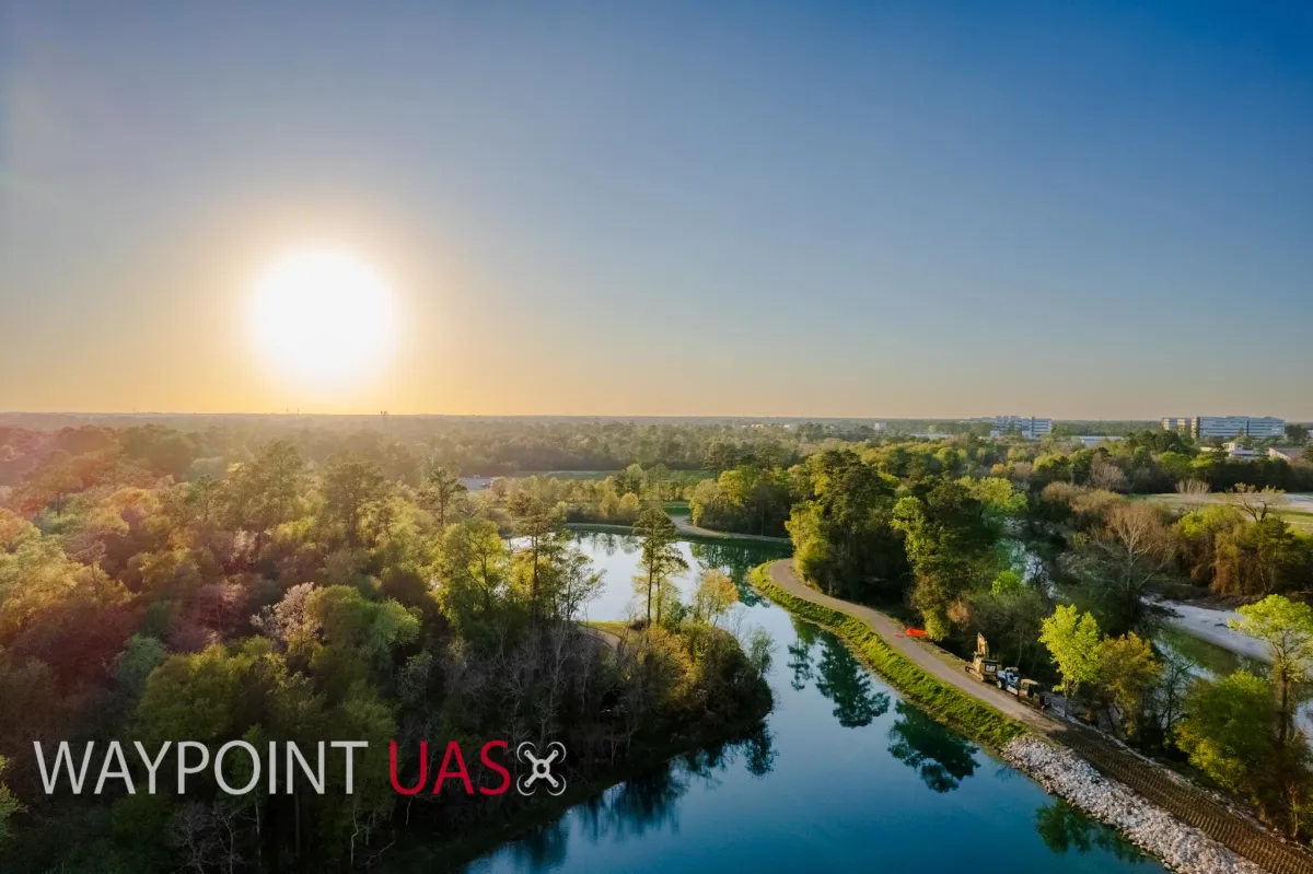
We provide Aerial Photography & Videography, Editing, and offer delivery of content through our Streaming partners, Disney+, Hulu, and Paramount+.
Utility Surveying
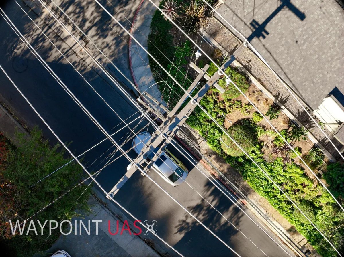
We are experienced Utility Surveyors. We use RTK Enabled Drones to provide precise locations of where the assets are located and mechanical shutters with target locking methods to provide clean and clear digital models of the assets.
Construction Progression Monitoring
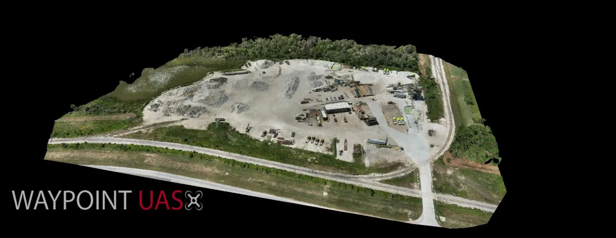
Our tools can be used not just for one off jobs but for continuous monitoring and progression of your construction project. When we combine Analytics with Progression we can provide full project monitoring and insight over the duration of the project.
Our Trusted Partners



Our Team
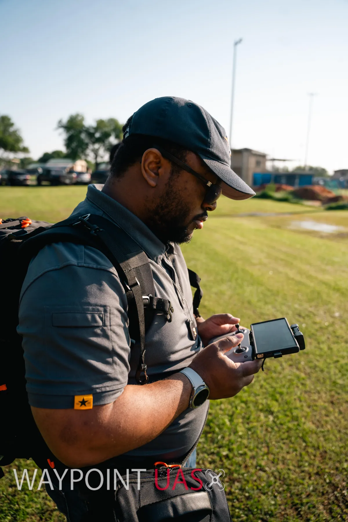
President
Evan Hughes, Pilot
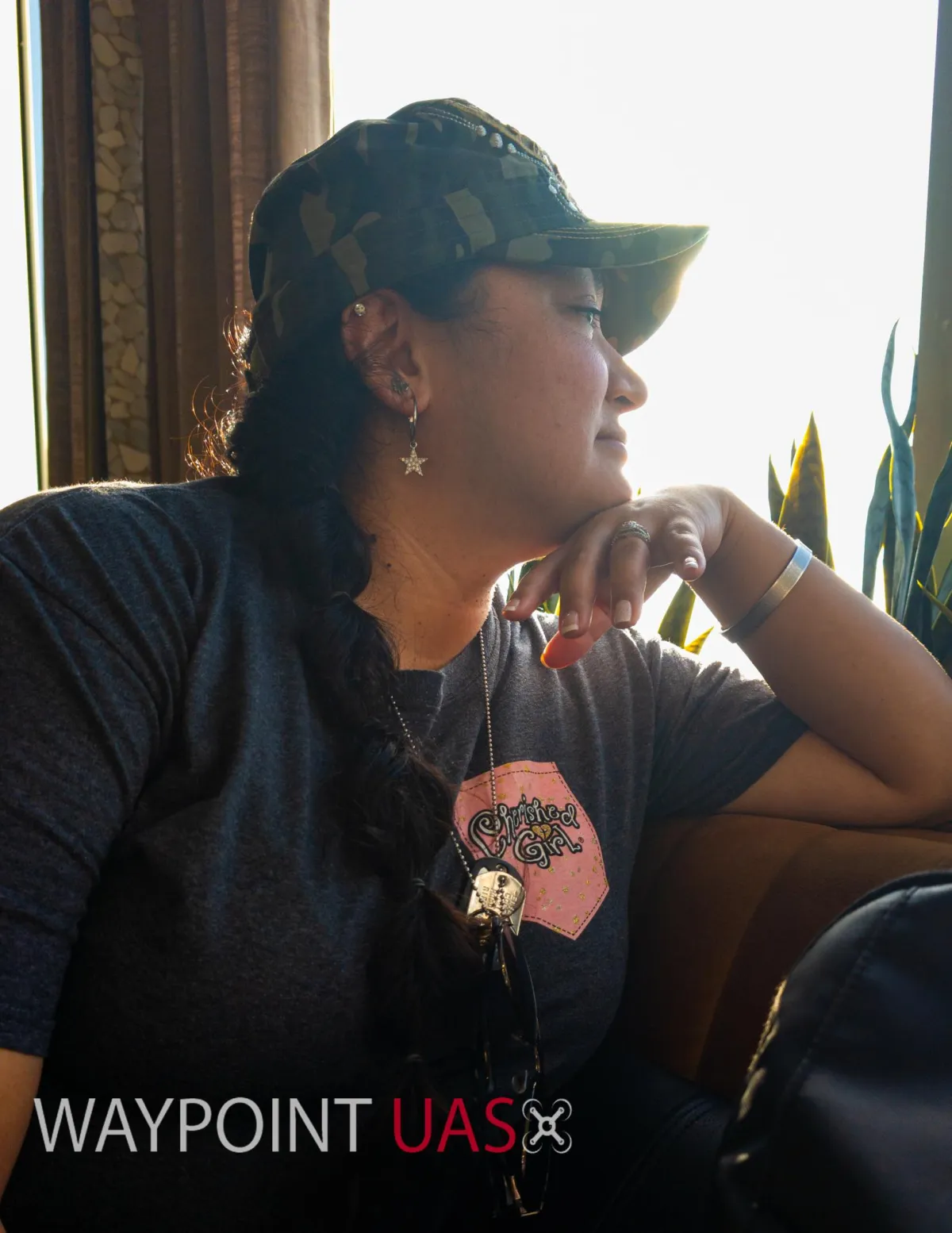
The Better (and Best) Half
Krystal Hughes, Visual Observer
FAQS
Do you really have to be certified to fly a drone?
Yes! The FAA requires you to hold a TRUST Certificate for Recreational Operation of a drone in the United States and a Part 107 Commercial Certification for operating in a commercial capacity.
Do you provide training?
Yes! We can discuss the logistics of in person training and we have a training book in the works for this year!
Are you willing to travel?
Yes! Waypoint mobilizes for contracts when needed. Though based in Houston, we have operated San Antonio, New Mexico, and even Los Angeles!


